Monday, May 27, 2013

Little Neck Bay Long Island Sound- Memorial Day 2013


View Little Neck Bay Queens in a larger map

It was a perfect Memorial Day today. Conditions were perfect; light winds, 25 degrees C (75F), and bright blue sky. Not only that, but the tide was perfect for a nice late morning start. 
I finally got my act together to do some salt water fishing. The annual Striped Bass migration is coming to an end around here, but I went out yesterday and bought a heavier duty rod and conventional reel  for the purpose. Our light weight freshwater gear is not the go for this type of fish or fishing, so with the help of Jonathan at Fisherman Depot  I got myself set up. 
My new Shimano reel


I'll say before I go any further that I did not even get a bite today, but at least I got to test out the gear. 
I paddle to explore, and if I add a fishing rod, then any fish caught are a bonus (unless we're at Quetico living on dehydrated food that is )  so I was not disappointed, as the paddle was fabulous. 
Just being on the Sound, seeing all the boats, big yachts with their sails up, boats of all shapes and sizes, seeing the big bridges (Throggs Neck and the Whitestone), was terrific.  
Throggs Neck Bridge

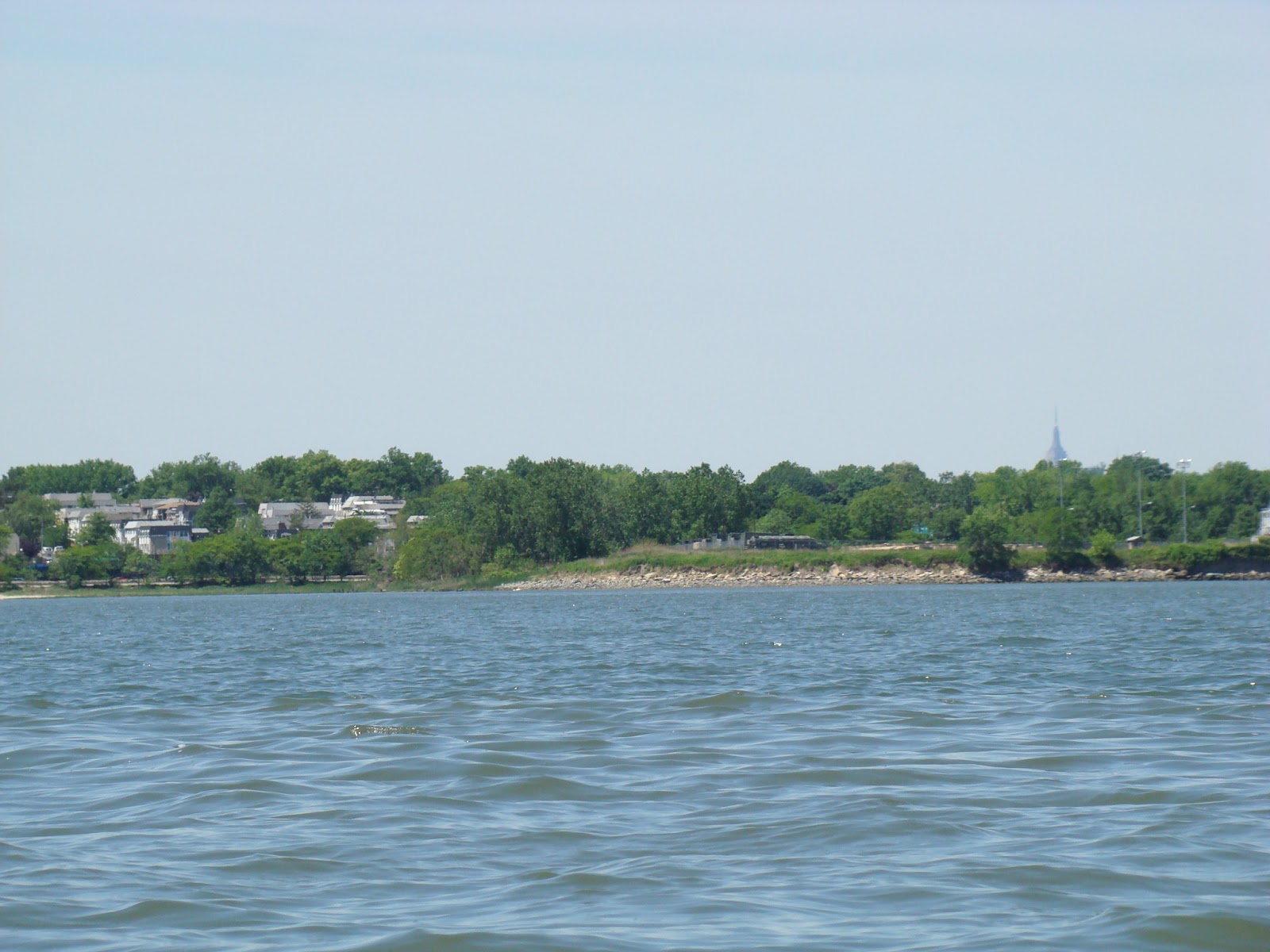
Empire State Building poking up in the background

Whitestone Bridge in background


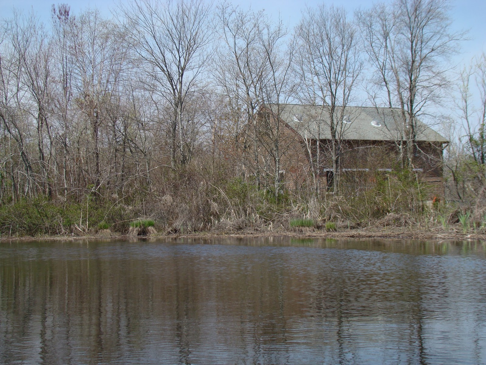
I was surprised to paddle up a shallow bay looking for a possible river, to discover an old mill complete with waterwheel. I learned later this is the Saddle Rock Grist Mill.  I jumped out to take a couple of photos, and was rewarded by seeing some  (albeit dead) horseshoe crabs . I should have put something in the photo for scale, as it's hard to tell their size. The crab in the photo is about the size of a dinner plate.
Saddle Rock Grist Mill


Horseshoe Crab


  The final treat was paddling around the point at Fort Totten to discover the battery there. Over 40 gun emplacements - no cannon there anymore of course, but an impressive sight nevertheless. 


No fish, but a great day!


Sunday, May 5, 2013


View Bayside Marina Queens in a larger map

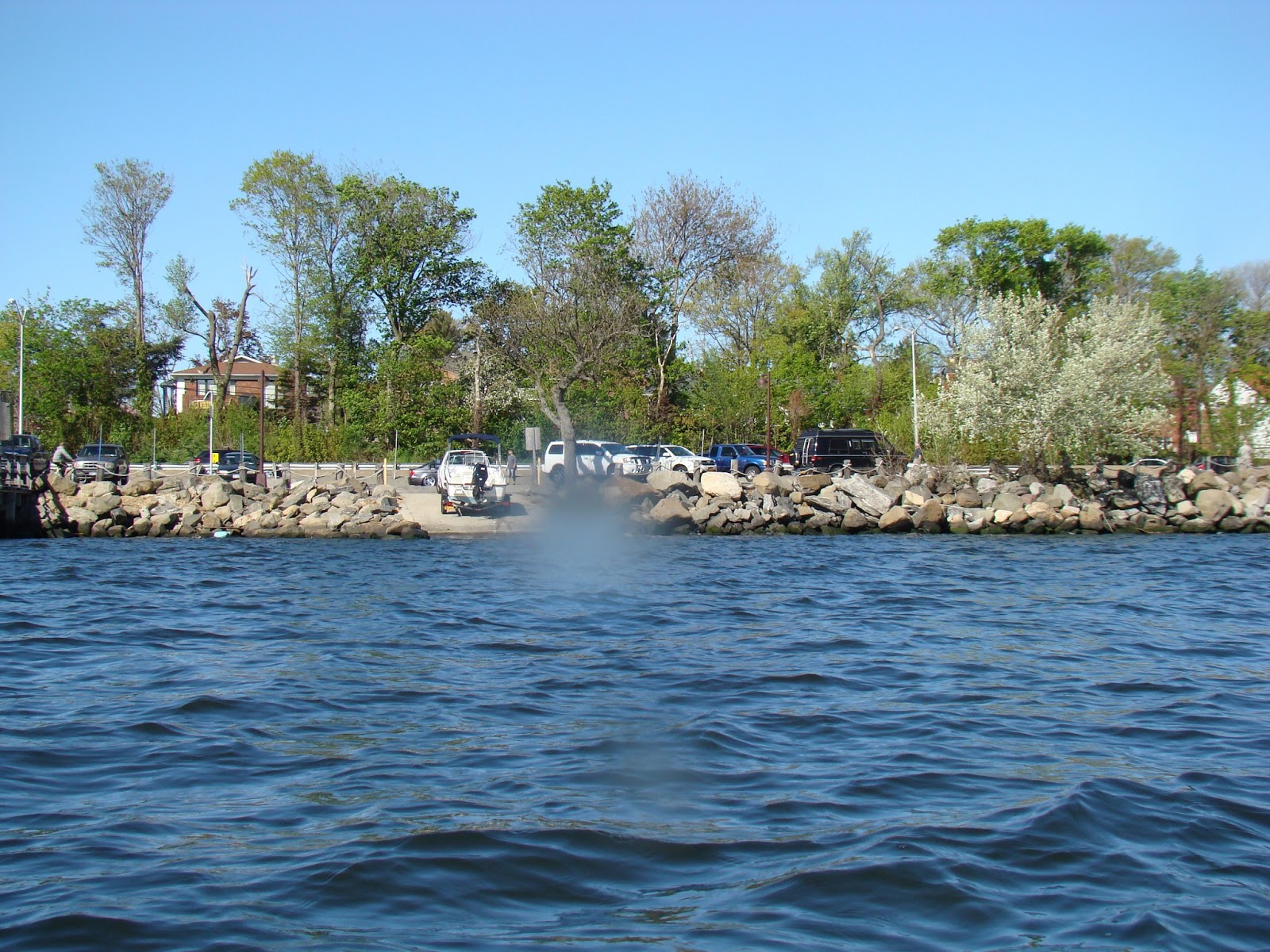
Sadly an abortive paddle, but at least I managed to check out a couple of launches. The marine forecast said 5-10 knot winds , and when I left the Bronx, the winds were indeed mild. I headed for Fort Totten, an active Army base where there was purported to be an official NY Parks Kayak Launch.  Unfortunately no one had updated the website to tell would be paddlers that the launch had been demolished. Helpful FDNY men who were on the entrance gate, pointed me to another nearby launch; albeit with minimum directions.  Took a peak at  Googlemaps and headed to the other side of Little Neck Bay only to discover a nice little launch that was open only to residents of a nearly estate. Not wanting my car to be towed, I took the time to review the NY Water Trail website again and find the said nearby marina that was back on the other side of the bay. Not  great deal of distance was involved in all this mucking around, but by the time I found the Bayside Marina and got the kayak in there was a strong easterly blowing right across the bay making waves of around 18 inches. The paddle very wet with splashing water (again my new kayak showed itself less weatherly than my old one - and less stable) . There was one protected area in the lee of the marina dock, so I basically paddled around for half an hour to get a bit of a workout and then headed out of the water. I called my friend Lauren who lives close by, and she invited me around for tea and pancakes, so the trip was not a complete washout. A few pictures are included below. 


Sunday, April 28, 2013

Metedeconk River NJ


View Metedeconk River Paddle April 28th 2013 in a larger map

What a long time it's been since I was on the water.  Prompted by the beautiful weather and the need to get a new rod holder and anchor cleat fitted to my new kayak (after holing my old one - too much dragging along various rough terrain), I took the Garden State Parkway  down to The Jersey Paddler , a super dooper kayak / canoe store near Brick NJ.They had exactly what I wanted and fitted the parts while I waited. Met a young man called Ryan ( he did the work on the kayak), who told of the amazing fishing down that way, striped bass in particular. I will try and head down there is September; we are off to Quetico  and the UP again this year, so we won't be back until then.  Ryan tells me that I'll miss the stripers, but that  is when I can catch  summer fluke AKA flounder., so can't wait for that.

While there I asked them for a suggested paddle and they directed me to the Metedeconk, about 3 minutes from their store. It turned out to be a very pleasant river, low current  and birds abounding. There were a few people on the river here and there, but it was still a quiet paddle.


Weather Station

Launch


Painted Turtle


Tuesday, January 1, 2013

Long Island Sound Mamaroneck Harbor and Otter Creek Jan 1st 2013


View Long Island Sound Mamaroneck Harbor and Otter Creek Jan 1st 2013 in a larger map

It was a pretty mild day for this time of year (4degrees C (38 F)), light winds,  so I headed out to Mamaroneck for a short paddle.
There was a good boat ramp - It costs $5 to launch a kayak and $5 to park there in the summer. Right now it's free. 


Boat Ramp

 It only took 25 minutes to  get there and it turned out to be an interesting paddle. 

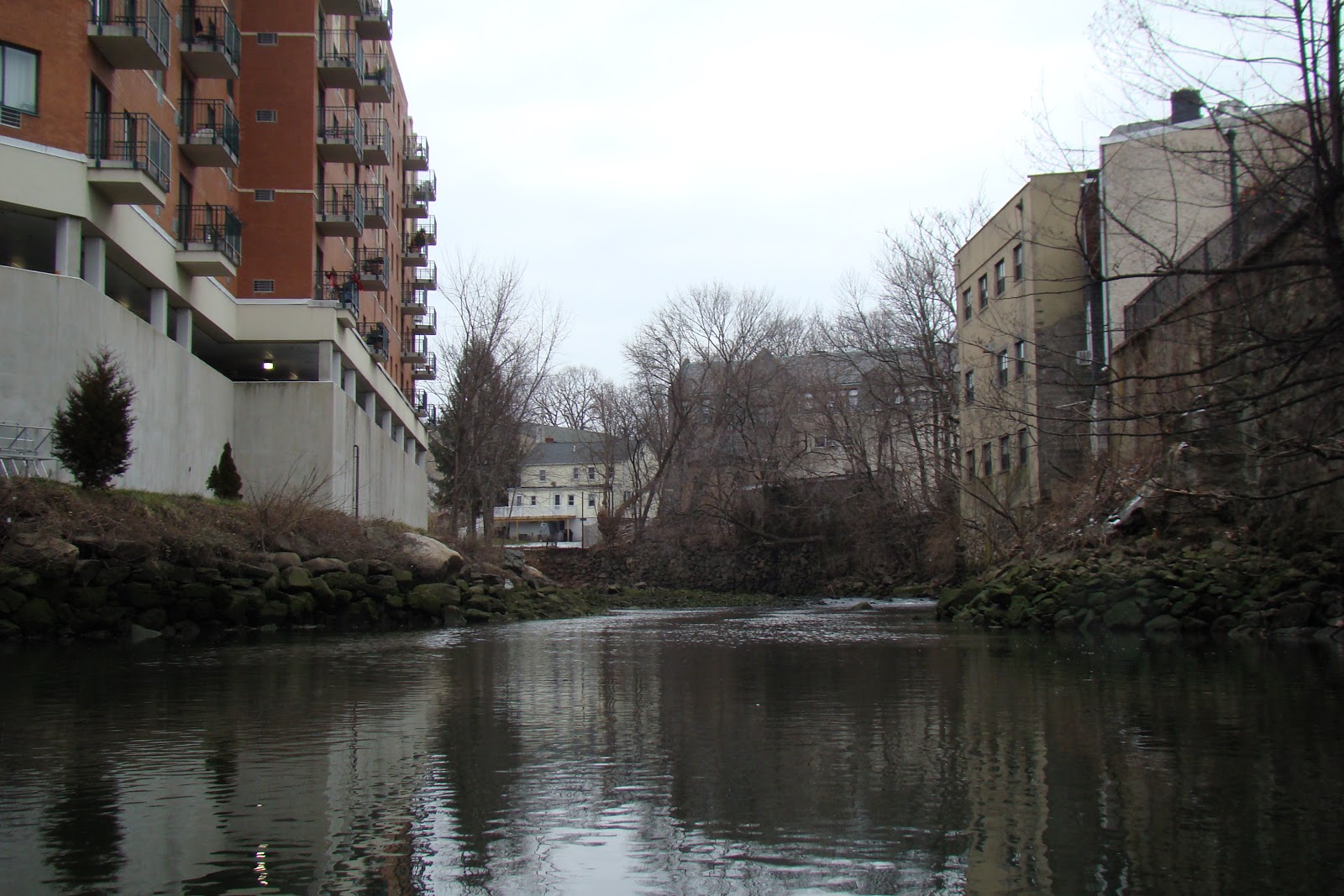
First I went under the bridge , looking to see how far up Mamaroneck River I could get. - The tide was half way up, and the river was almost immediately impassable. 


I then headed up what seems to be called Beaver Swamp Brook, but again could not get too far. 


A very old cemetery complete with crypt


Deer taking it easy. 


This was as far as I was able to go. 


Going further out of the harbor I noted another creek coming in on the east, and this turned out to be  Otter Creek. I found out later that it runs through  Otter Creek Nature Preserve . It is a tidal wetland area of marshes with ducks abounding. The tide was getting close to high as I was there, the perfect time, as without the tide, it would be a very muddy creek.


Clams in the mud 

The Harbor itself musty be very busy in the summer, but  I spotted only one other boat, a kayak, while I was out. Winter is such a great time to paddle


The gulls have been feasting on shellfish on all of the pontoons. 


Saturday, December 29, 2012

Cove Harbor, Holly Pond and Noroton River Ct Dec 2012


View Cove Harbor - Noroton Rive Ct Dec 28th 2012 in a larger map

My plan was to  go for a paddle on the Housatonic- launching at Indian Well State Park. After arriving there, I realized that the park (and boat ramp) was closed for the winter. Faced with a long drag (and remembering that my last kayak was holed though too much dragging) , I decided to head back along Merritt Parkway. 


Housatonic River  at Indian Well State Park 

In an effort to avoid a traffic jam, I headed down towards I95 and noted that there was a river and pond there. I drove down to Cove Island Park and put in at the boat ramp, paddling through the marina to the pond, rather than paddling out into  the Sound. There was a bit of wind - probably around 10-15 MPH and it was cold (around the freezing mark).

At this point my phone ran out of juice  so I wasn't able to check the tides, although I recalled that closer to NY, the tide would be falling at this time. 

After about  45 minutes poking around the pond, I headed up towards the Noroton River and was surprised to feel my paddle scrape on something hard. I looked down and discovered there was about 18"  of water under me. The last thing I wanted was to get stranded out in the open in such freezing weather, with the possibility of hypothermia if I had to walk out through water. 
That being the case I turned around and paddled back pretty quickly to the marina, where I was surprised to hear rushing water under the bridge that  I had passed under on the way out. A closer look showed me that the water level had dropped considerably, and there were rocks between me and the take out. 
I decided to head for the shore at the one place near the marina that was not surrounded by 8 foot high fences and pull out there. It meant dragging the kayak and me over a three foot stone wall, but that was easy. After that, a shortish walk back to the car  saw me dragging the kayak across a fairly short distance and heading back home. It had turned into a lovely day-blue sky, sunny and  probably 3 or 4 degrees above freezing; all in all a nice day out. 


Boat Ramp

Holly Pond


Noroton River 

Holly Pond

Holly Pond 

Impassable return to the marina


Holly Pond