Saturday, December 29, 2012

Cove Harbor, Holly Pond and Noroton River Ct Dec 2012


View Cove Harbor - Noroton Rive Ct Dec 28th 2012 in a larger map

My plan was to  go for a paddle on the Housatonic- launching at Indian Well State Park. After arriving there, I realized that the park (and boat ramp) was closed for the winter. Faced with a long drag (and remembering that my last kayak was holed though too much dragging) , I decided to head back along Merritt Parkway. 


Housatonic River  at Indian Well State Park 

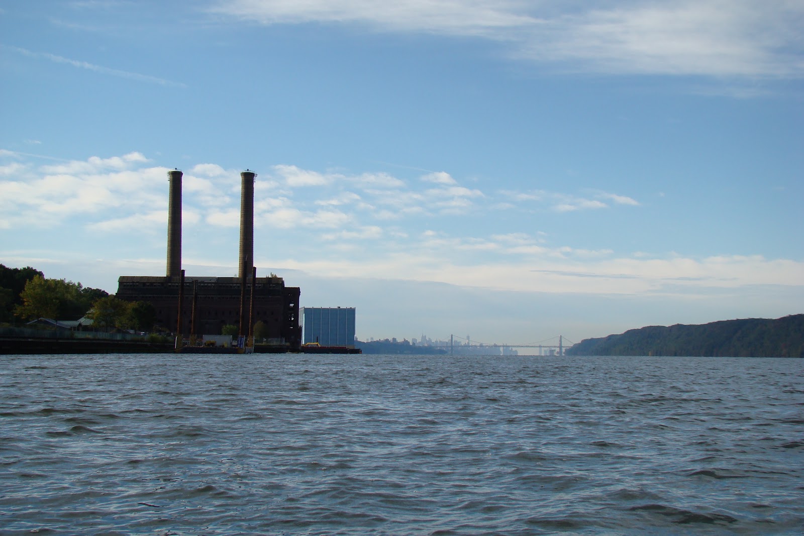
In an effort to avoid a traffic jam, I headed down towards I95 and noted that there was a river and pond there. I drove down to Cove Island Park and put in at the boat ramp, paddling through the marina to the pond, rather than paddling out into  the Sound. There was a bit of wind - probably around 10-15 MPH and it was cold (around the freezing mark).

At this point my phone ran out of juice  so I wasn't able to check the tides, although I recalled that closer to NY, the tide would be falling at this time. 

After about  45 minutes poking around the pond, I headed up towards the Noroton River and was surprised to feel my paddle scrape on something hard. I looked down and discovered there was about 18"  of water under me. The last thing I wanted was to get stranded out in the open in such freezing weather, with the possibility of hypothermia if I had to walk out through water. 
That being the case I turned around and paddled back pretty quickly to the marina, where I was surprised to hear rushing water under the bridge that  I had passed under on the way out. A closer look showed me that the water level had dropped considerably, and there were rocks between me and the take out. 
I decided to head for the shore at the one place near the marina that was not surrounded by 8 foot high fences and pull out there. It meant dragging the kayak and me over a three foot stone wall, but that was easy. After that, a shortish walk back to the car  saw me dragging the kayak across a fairly short distance and heading back home. It had turned into a lovely day-blue sky, sunny and  probably 3 or 4 degrees above freezing; all in all a nice day out. 


Boat Ramp

Holly Pond


Noroton River 

Holly Pond

Holly Pond 

Impassable return to the marina


Holly Pond 

Friday, December 28, 2012

Delaware Raritan Canal Landing Lane - Demott Lane Dec 23rd 2012


View Delaware Raritan Canal December 23rd Landing Lane in a larger map

Finally back in the good old US of A and happy to get a chance to go for a paddle  I decided I should try and find the start of the canal, having paddled it so many times. It is actually the end of the canal of course, as it runs from the Delaware to the Raritan. 

This spot was a good find, as I realized that this can be a two way paddle on different waterways. Just like one can do further up stream, near Washington's Crossing, you can paddle up the canal and drag the kayak over the bank to paddle back downstream on the River (in this case the Raritan) . I didn't do it last week because I know there are several hazards on the Raritan, and I wanted to check that there were none on this stretch.  The  Raritan Riverkeeper Guide to access points is the reference for this, and I have since see that that section is perfect for the turn around paddle.

Launch at Landing Lane- Parking is available up on the road by the traffic lights 

Looking across the canal to the Raritan in the background 

A nice little place on the canal

Demott Lane - turn around and boat access point 


Another shot of the canal with Raritan River in the background 


It is clear how how much higher the canal is than the river. In this spot, right at the end of the canal, water spills over into the river. 

Sunday, October 14, 2012

Bronx River Oct 2012


View Untitled in a larger map

The best conditions  possible encouraged me to go to Long Island Sound, but a running race prevented me from paddling up the the north of Randall's Island, which my original plan. Not to be thwarted I headed over to Soundview and put in at a fairly rough spot. I paddles part way up the Bronx River, intending to try and paddle over the barrier and go further upstream from the concrete plant. Begin a little later due to the change in launch site, I was a little behind the top of the tide, band getting over the barrier was not possible. 
This gave me time though to paddle to the end of Hunt's point and check out the  old plant built on a dock right at the head of the point .
Lots of pics 


Garbage Barge

Garbage Barge Tug

Soundview Park

Soundview Park


Bruckner Bridge


Rikers Island

Rikers Island

Rikers

Looking back to the Whitestone Bridge


Launch Site

Monday, October 8, 2012

Hudson River Yonkers October 8th 2012


View Hudson River Paddle Yonkers Oct 8th 2012 in a larger map

Woke up early on this sunny, calm  Columbus Day, so took the new kayak out for a spin. The tide was nearly all the way out, so I had about half an hour been carried downriver by the flow and the tide. 
I paddled along the eastern bank moving slowly as I took photos taking many photos and having a good explore. The waterfront was very interesting. I'll let the photos tell the story.
Looking South  from the boat ramp

The Pallisades NJ


Looking north


Yonkers Canoe Club


Boat Ramp Entrance

Boat Ramp