Sunday, January 22, 2012

Passaic: Great Falls upstream


View Passaic: Great Falls upstream in a larger map

USGS 01389500 Passaic River at Little Falls NJ
Drainage area:762 mi2
Discharge:1140 cfs
Stage:2.55 ft
Date:2012-01-22 07:30:00
Flood stage:7 ft
Percentile:56.82 %
Class symbol:symbol
% normal (median):118.75 %
% normal (mean):85.60 %

Conditions  
Temperature -4 C Wind Chill - C
Winds NE 10kph


A chilly day, a shortened paddle due to the current strength , but an unexpected discovery- Great Falls, a seriously impresive set of falls , just downstream from the launch. 

The Falls 
Great Falls looking upstream


Great Falls looking downstream

I launched from this landing 


Pavilion on banks 
Detail of pavilion 

A little upstream from here, on the bend, the current grew too strong to make headway Too much snow on the banks for portaging,  so this is where I turned around. 


Adjacent to the launch- another pavilion

The falls are just past this bridge

Footbridge 

Ice build up on my paddle on return to the landing
Back on land- ready for the Giant's game tonight!

Monday, January 16, 2012

Upper Passaic - Little Falls to Two Bridges


View Passaic Li Jan 16th 2012 Little Falls to Two Bridges in a larger map


Forecast for 11:00 am
Air Temp  0 C (32 F)
Wind Chill - 3 C (27 F)
Winds SSE  6 kmph  (4 mph)  Gusts up to 8 kph (5 mph)


USGS 01379500 Passaic River near Chatham NJ
Drainage area:100 mi2
Discharge:356 cfs
Stage:4.52 ft
Date:2012-01-16 05:15:00
Flood stage:6 ft
Percentile:87.63 %
Class symbol:symbol
% normal (median):257.97 %
% normal (mean):200.96 %

I headed for the park on Stanley Rd., but did not put in owing to  the river narrowing and freezing upstream. Did get a picture of the water gauge though , before I left to drive up river and put in just above Little Falls ( Beatties Dam) 
Water Gauge near Chatham ( gauge reading above) 


The weir at Stanley Rd near Chatham 

This was the gauge reading for the river just before the turn around (Picture of this gauging station is below the table.) 
I was out for just under three and a half hours. Distance traveled - Approx 7 miles .

USGS 01389005 Passaic River below Pompton Riv at Two Bridges NJ
Drainage area:734 mi2
Stage:5.27 ft
Date (stage):2012-01-16 15:30:00
Flood stage:9 ft
Class symbol:symbol
Water temperature:1.3 oC
2012-01-16 15:00:00
Specific conductance:348 μS/cm
2012-01-16 15:00:00

USGS 01389005 Gauge Passaic River below Pompton Riv at Two Bridges NJ


It took a while to find a launching spot, but I found a boat ramp of sorts adjacent to Fern River Park Island.


Launch - heading out 


Launch - Returning 


The river was running at reasonable pace; one could not really stop padding for long, before finding oneself floating back downriver. 
Only geese and ducks were out today. No other people on the river; probably a tad cold for most people . 
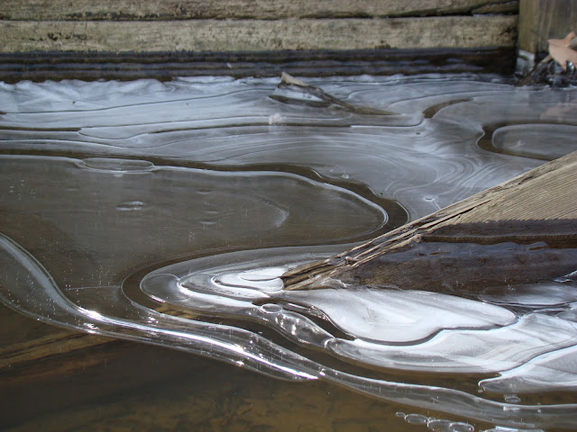
There were some very attractive odd shaped icicles and icing along the river bank. Photos of this and other scenes follow. 


Ice Designs 


A small tributary running in alongside of I80 


Two Bridges 


I 80 bridge 


Saturday, January 14, 2012

Passaic Route 510 North and South ( Lost channel part 2))


View Passaic Route 510- north and south Jan 14th 2012 in a larger map

WEATHER
Temp 32F  0C (Windchill 20F -7C)
Wind  NW 13 mph  (20kph) Gusts up to (22mph) 28 kph

USGS 01381900 Passaic River at Pine Brook NJ
Drainage area:349 mi2
Discharge:1140 cfs
Stage:16.59 ft
Date:2012-01-14 06:00:00
Flood stage:19 ft
Percentile:85.82 %
Class symbol:symbol
% normal (median):220.50 %
% normal (mean):178.69 %

Last time I did this paddle I lost the main channel. Today I had the GPS out and carefully paddled looking for it. The whole area is inundated, and  the main channel should  have been  to the west, but I couldn't paddle over very shallow areas to see if was really there. - so a repeat performance of "What happened to the river?" Could the Google map be right off ?.. or just me?


Bird nest 

Close up of nest


Saturday, January 7, 2012


View Passaic River -Great Piece Meadow Jan 7th 2011 in a larger map


Upstream Water level 


USGS 01381900 Passaic River at Pine Brook NJ
Drainage area:349 mi2
Discharge:695 cfs
Stage:15.31 ft
Date:2012-01-07 15:00:00
Flood stage:19 ft
Percentile:59.03 %
Class symbol:symbol
% normal (median):116.42 %
% normal (mean):93.99 %
       
Downstream level 


 USGS 01389005 Passaic River below Pompton Riv at Two Bridges NJ
Drainage area:734 mi2
Stage:4.96 ft
Date (stage):2012-01-07 15:30:00
Flood stage:9 ft
Class symbol:symbol
Water temperature:3.4 oC
2012-01-07 15:00:00Specific conductance:437 μS/cm
2012-01-07 15:00:00 

Temp.  1:00 pm  12C (57 F) 2:00pm  18C  (70F)
Wind  south westerly 10 - 25 kmh (7-16 mph)


I paid for a taxi to shuttle me back to my kayak, having dropped it off at the launch and then driven to the take out point. It was  very warm day for the season. I had one layer on the bottom and two on top. Only needed my light paddling gloves. 
I could not put in where I had last week, as it was thick with ice. I dragged to kayak up the road a bit towards the bridge and scrabbled over the guard rail and down the bank.


It was about 3 hours to the take out at the two bridges. (9.1 miles) 


Look carefully and you'll see a sheep

More Sheep


The backwaters are all icing up. 


A good day out.