Saturday, June 18, 2011

East River- Short and Sweet

Having noticed that there is a launch site on the East River  in  Queens, I ventured there this morning. I have always avoided even thinking about paddling on the East River, as we lived very close to it for a year when we first arrived in NY. That section of the river, on the upper East-side, was always a roiling mass of currents. I had never considered that the other side of Roosevelt Island might not be  the same . I got there early and drove past the entrance to the launch area twice, as the entrance to the a beach was not obvious to the eye (although the sign I saw a little later , "Hallet's Cove Beach" should have been a clue- doh ).


  There was a pair of gates which were locked, and a local told me they usually opened around 9:00. I was there at  at eight,  but I figured I could easily lift the boat over the fence, so I was able to put in straight away. The water was calm, but  it was two hours into the rising tide and the current was fairly strong.  The city views were great, but the further I paddled downriver, the stronger the current became.


Eventually I was making very little progress, which shortly after turned into negative progress; I was paddling hard, but was going backwards. I had not even made it to the Queensboro Bridge. I turned around and headed back, and realized I had traveled almost no distance at all.


 I had  a poke around the cove and the projects that sit out on the northern point of the cove, saw some large metal sculptures (aside from those in the Socrates Sculpture Park) , got barked at by 3 ferocious guard dogs and finally pulled out .


 Total paddling time 50 minutes. Not exactly the three hours I had planned .


Nevertheless, it was fun, and I took the chance to check out the Long Island City Community Boathouse. while I was in the area. I thought it may be a place to launch,. There is a dock there but it was locked up tight when I was there this morning. Sometime though I might try and check it out again.
Only two weeks to go and we will be off out west for some serious wilderness paddling.

Sunday, June 5, 2011

Hudson River - Croton Landing


View Croton Landing Paddle in a larger map

It was a beautiful Day, only a little wind, so I head up the Hudson. Google Maps failed me for the first time, and I turned around three times before I stopped following the GPS direction and looked at the map to find my own route.


By the time I finally arrived, the wind had really picked up. The were heaps of boats out, lots of yachts, but also plenty of power boats.


It made for a somewhat wet paddle, but it was fun.

Not much scenery, although Croton Point Park was good. I need to go back at a lower tide so I can paddle under the railway bridge and get a little way up the river which runs into Croton Bay on the southern side of the park

Day Two in Connecticut


View Connecticut, Mattabasse and Coginchaug River Paddle in a larger map


On Sunday of Memorial Day weekend I headed to Middeltown, where I put in at Harbor Park .


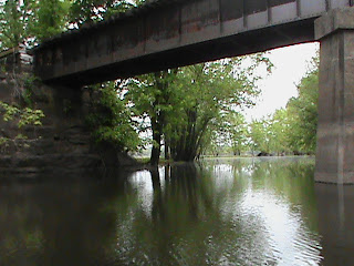
I went under an disused railway bridge and then under the Arrigoni Bridge, a substantial road bridge.


I paddled upriver to the Mattabassett River and followed that a short way to where the Coginchaug River enters.


Then, up the Coginchaug for a peaceful paddle.
The rivers were very high, there having been a lot of rain the previous couple of weeks. I passed a few anglers and a couple of kayaks. There were open flooded areas, sort of flooded lagoon, which made it a pretty interesting sort of paddle.

After loading the kayak on the truck I treated myself to a late brunch at on the balcony of the "Canoe Club' a restaurant right on the Connecticut River. It was a good way to end the day.