Sunday, December 25, 2011


View Passaic River Dec 25th 2011 in a larger map


Christmas Day 2011. Moderately cold = around 0C.  Light winds.
Put in at the 2nd of the two bridges I came to on Two Bridges Rd. Fairfield NJ.
There was no ramp, just a track and a steepish bank- The water is still relatively high, but the backwaters and lagoons are starting to freeze over. 

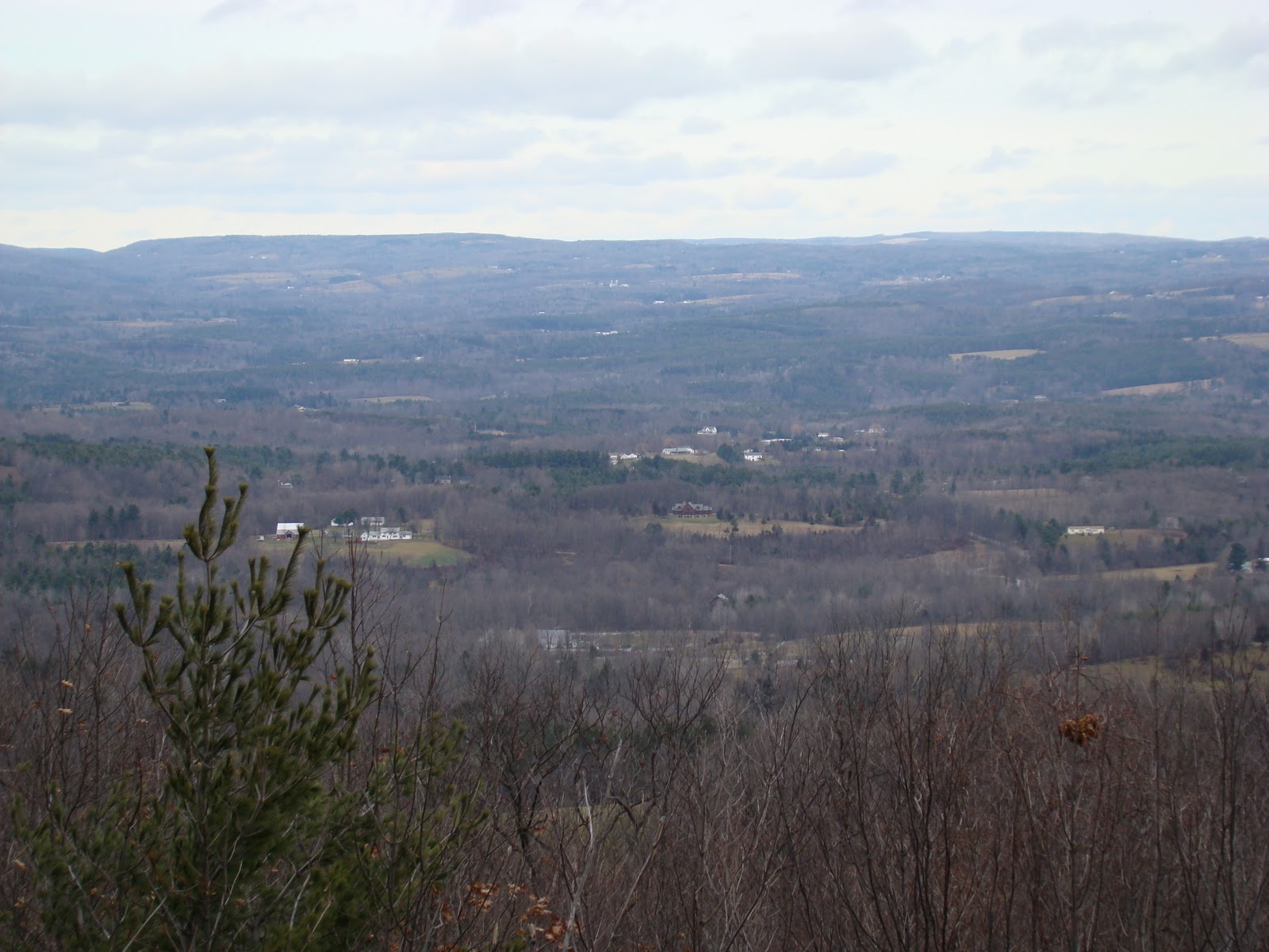
The winter season is starting to grow on me. Where once everything looked dead to me , now it just looks like winter . I like that I can see the actually see the topography; the lay of the land.
The backwaters are beginning to ice up.


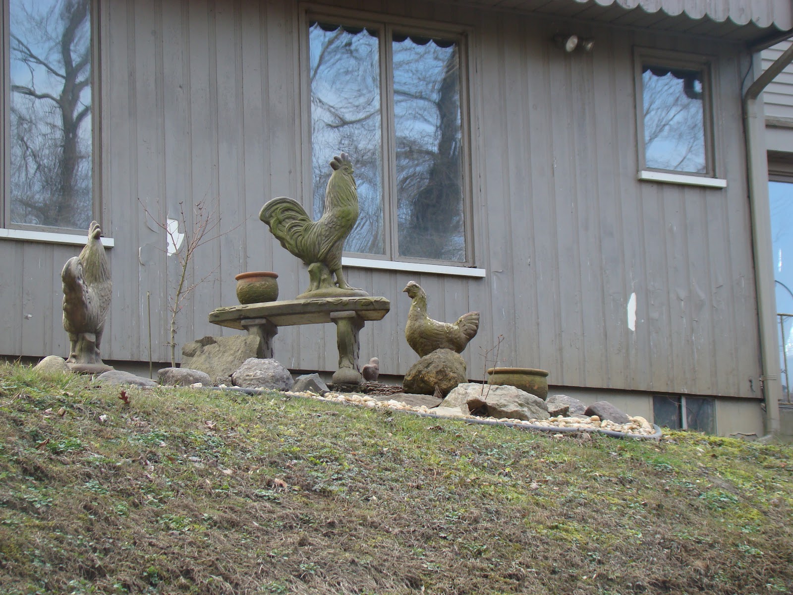
Even stone chooks get me hankering after them. Life without them is not ideal(real ones that is, not stone ones)  .

One of many small tributaries.


Housing that has seen better days. This section of houses on the river bank are very  low; I imagine that they sustained extensive flood damage in the wake of Irene and subsequent flooding. 

This cute little cabin 

A work in progress.

I fixer-upper that didn't quite get fixed upped.


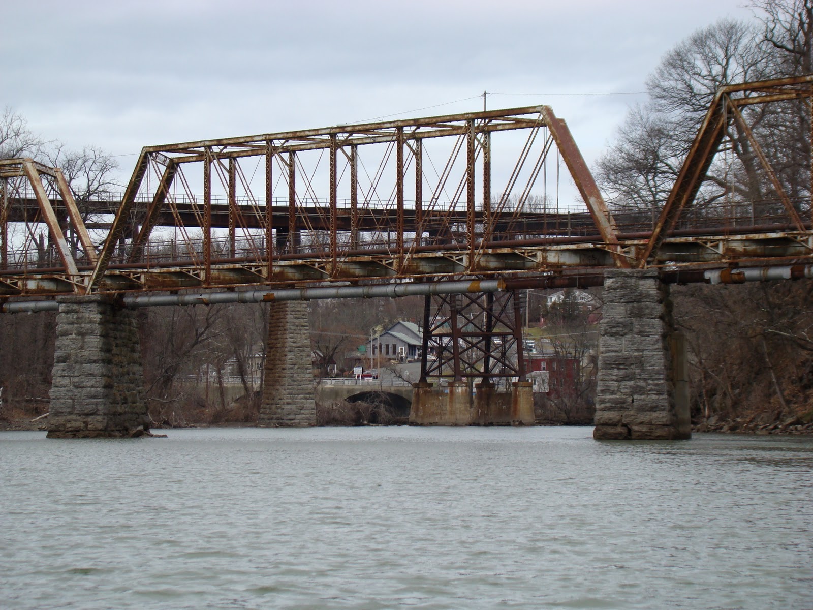
One of the two bridges at Two Bridges Rd. You can get an idea of the flood height by the debris .

The other...

The launch site is just beyond the bridge on the left/ 
There was some  animal action; I saw a  bunch of deer. Also a red- bellied woodpecker, female,  looking through the tree bark for goodies. A belted kingfisher swooped down and grab a small fish from the water; that nice to see. A turkey vulture was the only raptor seen.  There was quite  an amount of small bird action, but despite the lack of foliage, my abysmal knowledge of North American birds, and their flightiness,  left me  wondering what they all were. 
The Passaic is New Jersey's most polluted river. Up stream here, it actually looks pretty good...would not drink the water though. 

Sunday, December 18, 2011

Lower Esopus Creek - Saugerties NY Dec 18th 2011


View Esopus Creek- Saugerties NY Dec 18th 2011 in a larger map


On may way home from the Catskills I stopped for a very quick paddle to check out Esopus Creek in Saugerties.  It is a substantial creek, and definitely worthy of a longer paddle. It was literally freezing  cold. Foolishly I left my kayak boots in the kayak overnight, and when I went to put them on at the launch in the morning the feet (which must have been wet last night) were frozen. I could not get my feet in them.  Fortunately there was a beach which made the launch easy enough in my sneakers.  I put my boots on the  deck so they would thaw,hopefully in time to get out on my return.  The few splashes of water that fell onto my pants turned to ice in minutes. 


Beach where I launched  

Boat ramp adjacent to beach

Esopus Creek 

Esopus Creek 

Bridge in Saugerties

Once again I find a dam with no warning signs at all ; this one  was very high. Fortunately, I had checked Google satellite pics, so I knew it was there, but I can't help thinking it is very dangerous. I am also aware of the nature of the straight line horizon on the water indicating a dam ahead.

I was able to get one kayak boot on half way when I returned- enough to step out of the boat without getting wet feet. Will not make that mistake again. 

Saturday, December 17, 2011

Catskill Creek December 17th 2011


View


My original plan for the weekend was to go skiing, but with very little snowfall and a room already booked, I put the kayak in the truck and headed up the Hudson. I stayed at a B and B called the Bavarian Manor. This was within easy striking distance of both Windham and Hunter Mountains and the Catskill Creek and Hudson River.


Bavarian Manor Country Inn

Main Street Catskill

From the boat ramp looking north to Rip van Winkle Bridge  (Hudson River) 

It was a cold day, about 6 below (degrees C), and a stiff wind blowing from the north.Stan at the Manor told me about a put in on the creek at the high school, but I finished up putting in at Dutchman's landing on the Hudson and paddling around the point and into the creek.
Audubon Sanctuary - Tributary of Catskill Creek

Beaver dam in sactuary

One of the several marinas on the Catskill 


The boat ramp at the high school . (see map) 

Remnant debris from Hurricane Irene. The river rose 20 feet. Major damage ensued.

From Catskill Creek, looking east towards the Hudson, where a barge was passing 


Originally I planned this weekend as a ski trip, but there has been no snow to speak of. While I was in the area, I checked out Mt Windham. Their snow making machines have been going full bore, and decent snow was evident on the slopes.

Strangely ( or maybe not) my desire to ski was not  stoked by this visit. I think I am becoming anti-social- the idea of joining the throngs of people on the slopes left me totally uninspired. I think I will try out cross country this year. Some place  a little less crowded seems far more appealing.


Cute baby goat

 I drove past a great farm; goats and geese abounding. Two herding dogs,  maremmas?, were woofing at my intrusion ( I was on the roadside.).


Another great day out :-) 


Sunday, December 11, 2011

Passaic River - Bloomfield Ave - I280 NJ - Dec 11th 2011


View Passaic River- Bloomfield Ave to I280 12/11/11 in a larger map


Cold ( 3C) , Sunny day , no wind
Launched at Bloomfield Ave. at  a parking lot on the NE side of the bridge.
The water was very high, large lagoons spreading all around. I headed up stream, finishing up at I280- just not exactly where I thought I'd be. There was no bridge - At that point I checked my GPS and saw that I had paddled up a small stream, which, when I checked, was marked on Google Maps as a road. ( I have reported the problem.) I turned around and found the main channel again. Turned around after paddling under the bridge at I280.
I saw kingfishers, a red - tailed hawk, some small woodpeckers - could be sapsuckers -  I forgot the binoculars and camera (doh!).  Used my phone for these few  of pictures.
Launch